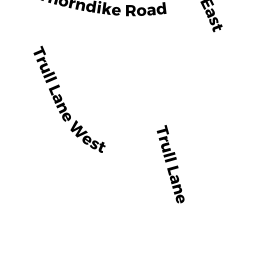
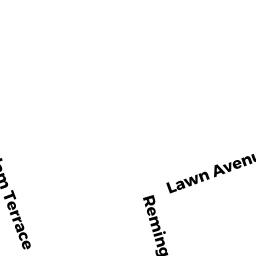
38 TRULL LN E
Owner Information
CAREY JENNIFER P
38 TRULL LN E
LOWELL, MA 01852


Property Details
38 TRULL LN E is classified as a Single Family Residential (Split-level).
The primary structure on this property was built in 1960. There are 4,112ft2 of built area within this property. There is 2,320ft2 of residential/living space within this property. This property is listed as having 8 rooms.
38 TRULL LN E is valued at $422,300. The land is valued at $155,100 and the structures are valued at $265,700. There is an additional valuation of $1,500 on this property.
This property is in Zone SSF. Confirm with local Zoning Board authorities to ensure there are no overlays or other easements on this property.
The most recent deed for 38 TRULL LN E is recorded at the local registrar in Book 0216, Page 0122. 38 TRULL LN E was last sold on Friday, March 11, 2016 for $10.
Assessment data from fiscal year 2021.
Flood Data
According to the FEMA National Flood Hazard Layer, this property does not appear to be in a flood zone. It may also be in an area not yet reviewed. Nonetheless, confirm this information prior to taking any action.
To view the flood hazards around this property, create a FEMA "Firmette" Map of the area around 38 TRULL LN E.
Broadband Internet Providers
| Provider | Type | Bandwidth (mbps) | |
|---|---|---|---|
| Verizon New England Inc. | DSL | 5 | 0 |
| Comcast | Cable | 1000 | 35 |
| VSAT Systems, LLC. | Satellite | 2 | 1 |
| HughesNet | Satellite | 25 | 3 |
| GCI Communication Corp. | Satellite | 0 | 0 |
| T-Mobile | Fixed Wireless | 25 | 3 |
| Viasat Inc | Satellite | 100 | 3 |
Broadband service provider data from December 2020.
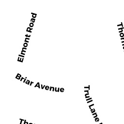
Adjacent Properties
- 63 TRULL LN
Single Family Residential owned by FRANCINE LISA - 53 TRULL LN
Single Family Residential owned by TRS SHEILA V HARRINGTON TRUST THE - 22 TRULL LN E
Single Family Residential owned by REGAN DANIEL P - 50 TRULL LN E
Single Family Residential owned by FOTOPOULOS GEORGE N - 75 TRULL LN
Single Family Residential owned by LEE KENG-JEN